Ketchikan has no road connection to anywhere. The town sits on Revillagigedo Island at the southern end of Alaska's Inside Passage, and the local road system never links to the continental highway network. How many miles of road the community actually has is not published on the Borough's Roads page or on any other official source we found. You arrive by air or by water, and there is no third option.
Most visitors arrive by cruise ship at one of the four downtown berths or at Ward Cove, about seven miles north of downtown. If your ship uses Ward Cove, a complimentary shuttle runs continuously to Berth IV downtown. The ride takes about 20 minutes each way, and the operator suggests allowing 30 minutes to be safe.
By air, Ketchikan International Airport sits on Gravina Island, directly across the Tongass Narrows. There is no bridge. The crossing is the borough airport ferry from a terminal at 4171 Tongass Avenue. The one-way fare is $6.00 per adult passenger and $7.00 for a standard vehicle. The ferry leaves the Ketchikan side on the quarter hours and the airport side on the hour and half hour, running from 6:15am to 9:30pm. In summer a second ferry adds 15-minute weekday service between 9:30am and 5:30pm.
Alaska Airlines is the scheduled jet carrier, linking Ketchikan with Seattle and Anchorage and with the other Southeast towns, Juneau, Sitka, Petersburg and Wrangell. The airline's own airport page did not load its route detail when we checked it, so treat the frequencies you read elsewhere as secondary.
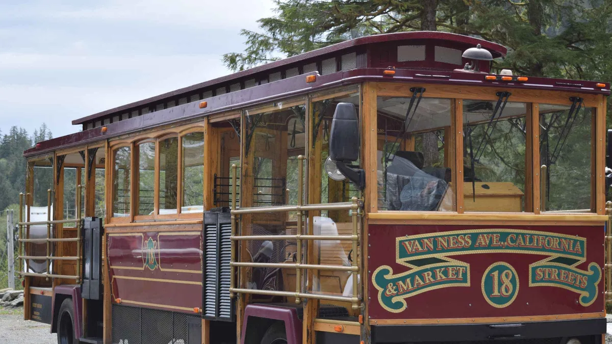
Long-distance ferry travelers use the Alaska Marine Highway System, whose Ketchikan terminal sits at 3501 Tongass Avenue, about 2 miles north-west of downtown and next door to the airport ferry. The Alaska Marine Highway publishes no flat fare. Every fare is quoted per sailing and varies by route, season, passenger age and vehicle size, so look yours up in the system's own fare tool rather than trusting any number you see elsewhere. Once you are in town, getting around is by foot, bus or tour bus.
 Ketchikan City Guide
 from $389
Small group
from $389
Small group